Lidar System · High altitude · long standoff
Sequoia
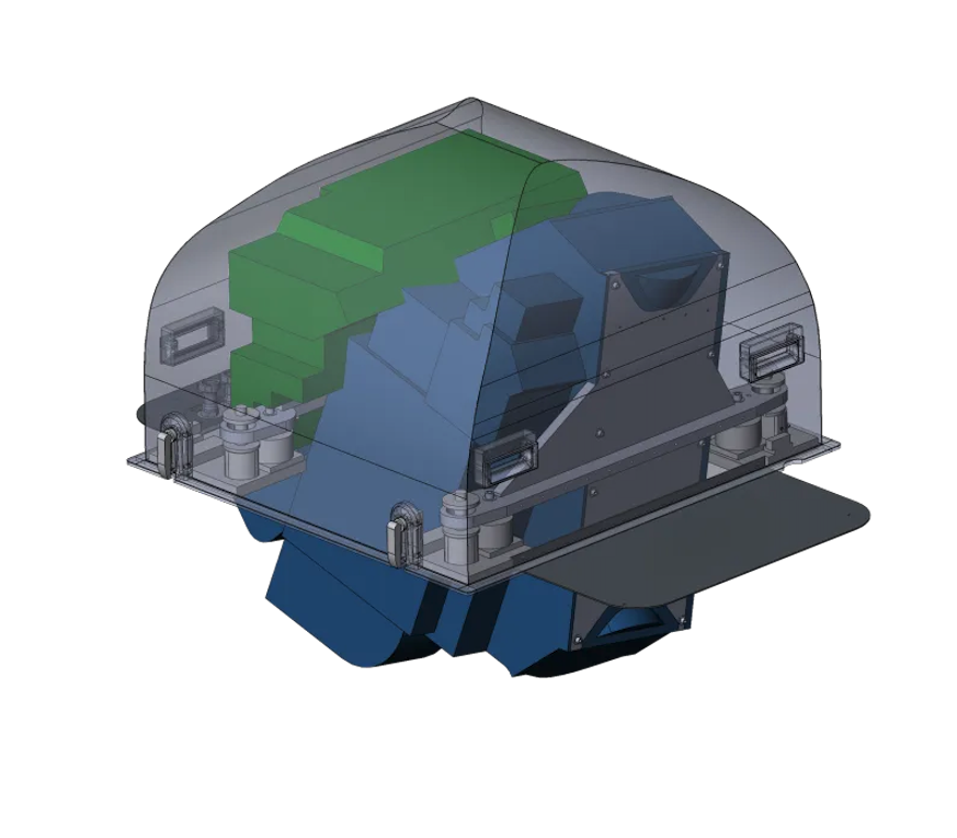
The flagship long-standoff system: map from the flight levels at 900 km² per hour.
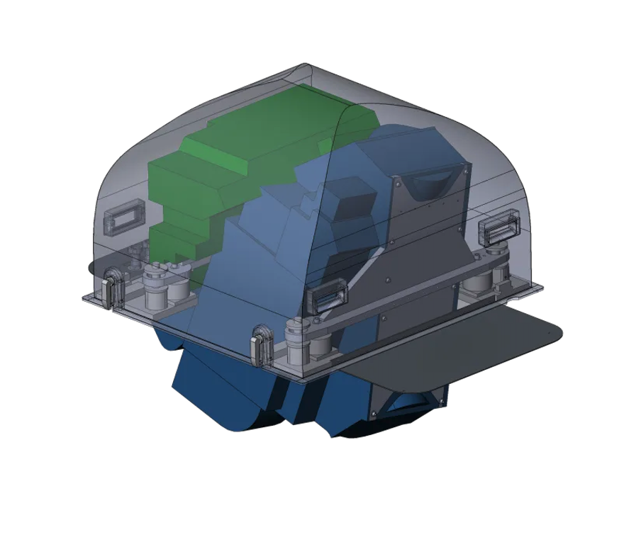
The flagship long-standoff system: map from the flight levels at 900 km² per hour.
Every 3DEO system shares the same Geiger-mode architecture and agile scanning — they differ in altitude band, throughput, and how they mount to the aircraft.
Color by elevation: 122–262 m, captured at 28,000 ft with an area collection rate of 900 km² / hr.
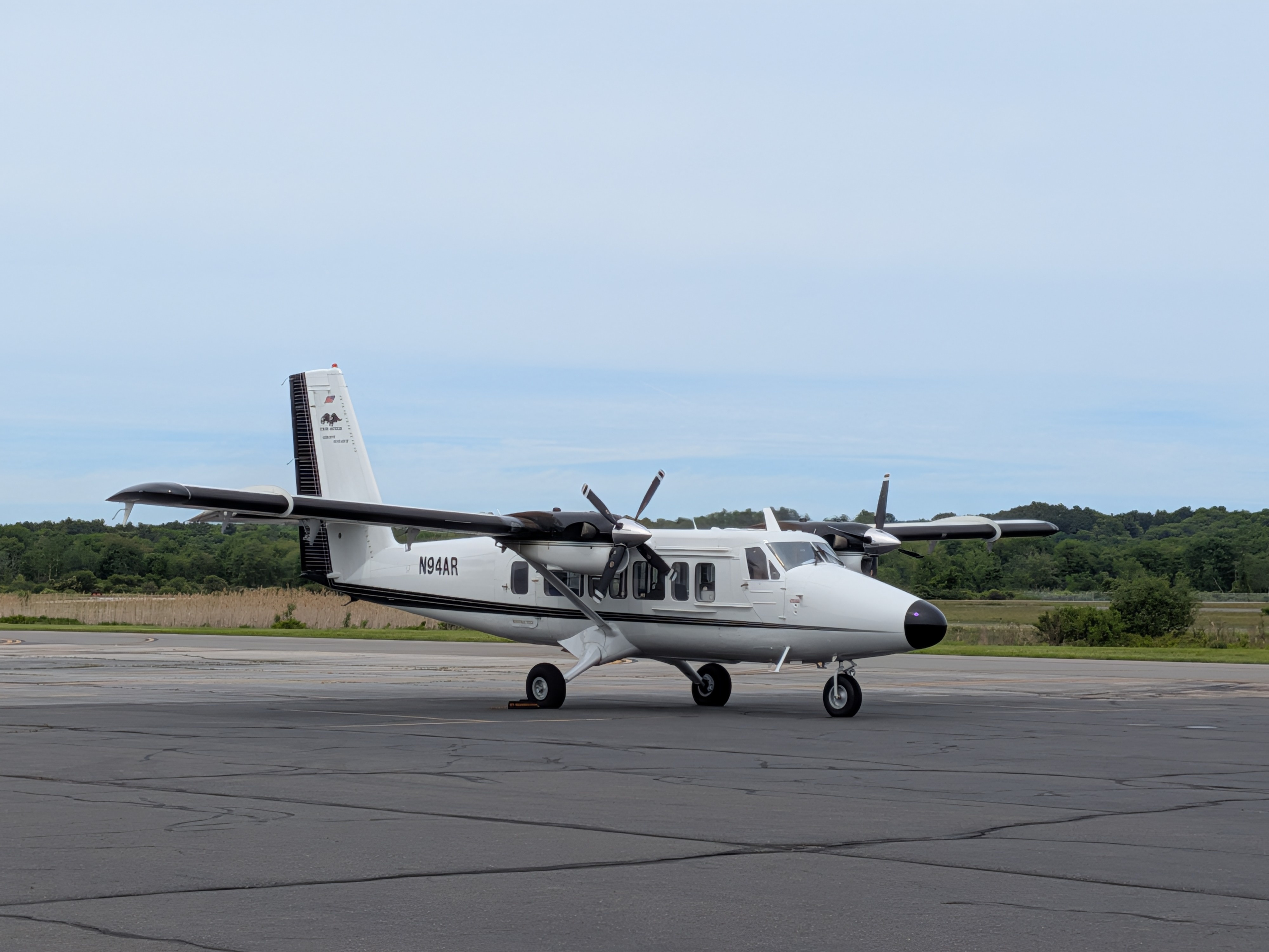
Every Sequoia collection is processed in Acadia, 3DEO’s software suite — turning raw single-photon returns into finished, validated point clouds with reflectivity, height-above-ground, and confidence metadata.
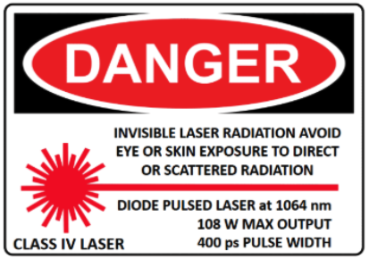
Laser safetyDANGER. Invisible laser radiation. Avoid eye or skin exposure to direct or scattered radiation. Diode pulsed laser at 1064 nm. 108W MAX OUTPUT. 400 ps PULSE WIDTH. CLASS IV LASER.
Whatever phase you’re in — consulting, equipment, collection, processing, or answers — there’s a right next move.